Press Release
An integrated ecosystem for resilient unmanned aircraft operations in rural, remote and infrastructure-limited areas.
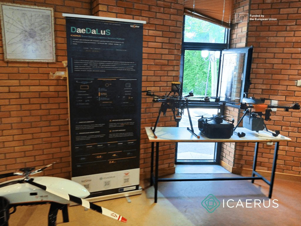
With the completion of the European project ICAERUS | Innovations and Capacity Building in Agricultural, Environmental and Rural UAV Services, GEOSENSE presents the DaeDaLuS – Drone Delivery Logistics Services platform, developed within the project as an integrated software and hardware ecosystem supporting unmanned aircraft operations.
DaeDaLuS was designed to support both Visual Line of Sight (VLOS) and Beyond Visual Line of Sight (BVLOS) missions, with a particular focus on rural, remote and infrastructure-limited areas, where communication reliability, environmental conditions and operational complexity create increased requirements.
Initially developed within ICAERUS Use Case 5 | Rural Logistics, DaeDaLuS evolved into a complete UAV operations platform, covering the full lifecycle of a mission: planning, assessment, simulation, execution, real-time monitoring and supervision of multiple unmanned aircraft.
The platform integrates onboard flight systems, multi-layer communication infrastructure, cloud-based services, a web-based Ground Control Station, mission planning tools, a Decision Support System, a Mission Simulator and multi-UAV monitoring functions. In this way, it provides a unified operational environment for the safe, flexible and scalable management of complex UAV missions.
A key feature of DaeDaLuS is its open and modular architecture. The platform is based on widely used technologies within the UAV ecosystem, such as Pixhawk autopilot systems and the MAVLink protocol, enabling interoperability with different platforms, sensors, communication modules and external services. This approach reduces dependence on closed technologies and facilitates the future expansion of the system.
Particular emphasis was placed on communication resilience. DaeDaLuS supports a multi-channel communication infrastructure, combining 4G/5G connectivity, Iridium satellite communication and RF links for local or backup operations. This architecture enables critical telemetry, monitoring and status-update functions to be maintained even in environments with limited or unstable network coverage.
Through the web-based Ground Control Station, operators can monitor UAV routes, view real-time telemetry, receive alerts and manage missions without the need for specialised software installation. At the same time, the Mission Planning Environment enables route planning through an interactive map, supporting waypoints, altitudes, speeds and standard mission file formats.
The integrated Decision Support System provides a pre-flight feasibility assessment of each mission, taking into account environmental and operational parameters. The system generates GO, WATCH and NO-GO indicators, supporting evidence-based decision-making before flight execution.
In addition, the Mission Simulator enables virtual validation of the mission before real-world execution, visualising the route, simulating UAV movement, monitoring waypoint-by-waypoint progress and displaying the flight elevation profile. This capability helps reduce operational risk, particularly for missions carried out in complex or hard-to-access environments.
Within ICAERUS, DaeDaLuS demonstrated the potential of UAVs in applications such as rural logistics, civil protection, environmental monitoring, infrastructure inspection and support for remote areas. The platform is a practical example of how unmanned aircraft technologies, geospatial applications, resilient communications and decision-support systems can be combined within a single operational framework.
“Our participation in ICAERUS enabled us to evolve DaeDaLuS from a resilient monitoring and communication system into a complete UAV operations platform. The project highlighted the real-world requirements for safe, interoperable and operationally useful missions in rural and remote areas,” said Vassilis Polychronos, CTO of GEOSENSE.
With the completion of ICAERUS, GEOSENSE continues to build on the technical results and experience gained, aiming to further develop DaeDaLuS and apply it to new UAV operational scenarios both in Greece and at the European level.
About ICAERUS
ICAERUS – Innovations and Capacity Building in Agricultural, Environmental and Rural UAV Services is a European project funded under the Horizon Europe programme, Grant Agreement No. 101060643. The project focused on the development and evaluation of innovative unmanned aircraft services for agricultural, environmental and rural applications.
About DaeDaLuS
DaeDaLuS – Drone Delivery Logistics Services is an integrated UAV operations platform developed by GEOSENSE within the framework of ICAERUS. It supports mission planning, feasibility assessment, simulation, execution, real-time telemetry, resilient communications and multi-UAV monitoring, with the aim of enabling reliable operations in demanding and infrastructure-limited environments.
